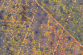
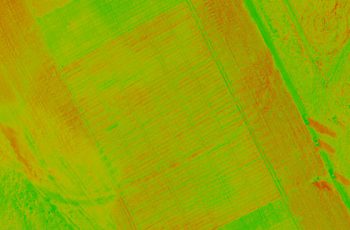
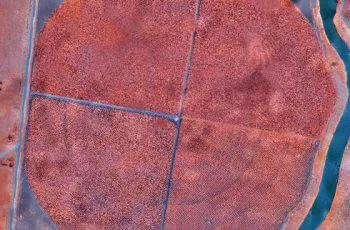
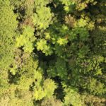
Multispectral sensors are used onboard drones to rapidly assess crop health, identify disease, monitor drainage, and more.
APPLICATIONS
- Growth forecasts and crop yield management
- Rapid fire/storm damage assessments
- Weed detection and management
- Plant health assessments
- Drainage assessments and flood mapping
- NDVI analysis
- Soil assessments
- Pest & disease control
- Crop counts and audits
- Urban utility mapping
BENEFITS
- Faster and more cost -effective data capture compared to conventional methods
- Increase crop yields whilst saving on water, fertilisers and pesticides
- Improve crop processes and resource consumption
- Easy identification of disease, pests and weeds
- Know where plant development is not adequate
- Ability to predict future yield
- Assessments for insurance claims
Related Use Cases:
Weed Mapping
Control of weed growth is crucial to maintaining productivity gains and sustainable herbicide use.
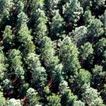
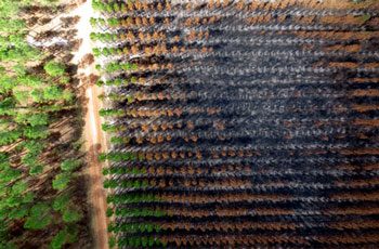
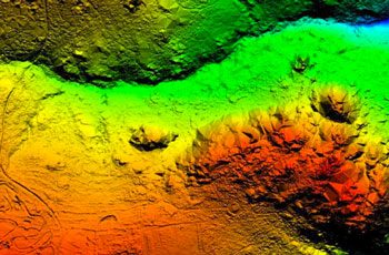
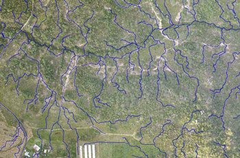
Forestry Assessments
Aerial data provides a wealth of information on yield, growth rates, fire damage and harvest expectations.