Leveraging drones can dramatically reduce expensive and time-consuming activities required to constantly monitor and manage mine sites.
APPLICATIONS
- Topographic Surveys (DSM, DTM, Contours)
- Volumetric assessments
- Watershed / drainage mapping
- Environmental mapping and modelling
- Land type classification
- Change detection
- Engineering and planning maps
- Traffic Management Plans
- Mine planning and remediation
- Asset inspection services
- Gas monitoring and fume management
BENEFITS
- Learn the terrain before moving your staff and equipment in a fraction of the usual surveying time
- Receive frequent stockpile volumetric reports and plan ahead to optimise resource and staff allocations
- Monitor gas emissions without putting workers in danger
- Identify and classify assets and on-site features for financial or insurance purposes
- Use site maps as a guide to plan infrastructure improvements, resource moving routes and maintenance routines
- Become aware of watersheds, draining paths and simulate flooding patterns
- Track progress and development with survey quality orthorectified images
- Quicker and easier compliance with mine safety legislation
Related Use Cases:
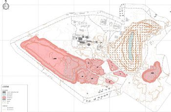
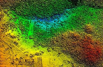
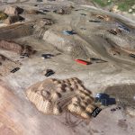
Stockpile Volumetrics
Mining is all about quantities – how much to extract, how much to process, how much is being stored?
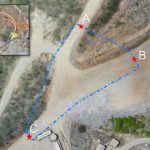
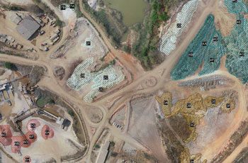
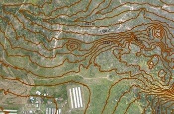
Traffic Planning
Traffic management on mine sites is essential in reducing risk to workers and visitors.
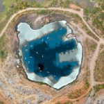
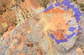
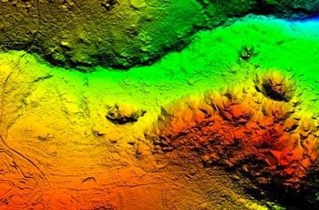
Bathymetric Surveys
Using sonar sensors, we conduct bathymetric surveys to map underwater features and measure depths.
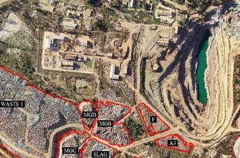
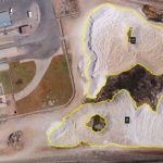
Landfill Surveys
Keeping track of landfill capacity is essential to making informed decisions on maximising capacity of the site.