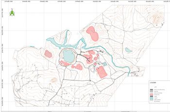
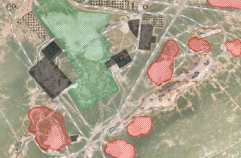
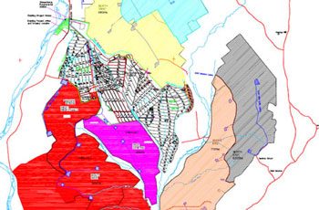
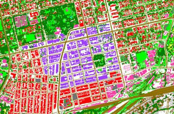
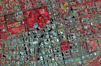
Land cover mapping and monitoring is extremely important for examining human behaviour, ecosystem health, biodiversity, climate change, water management and conservation.
APPLICATIONS
- Object classification and land use mapping
- Capture high resolution multispectral imagery over vast areas to assess land cover changes at regular intervals
- Measure canopy heights to monitor growth for future planning
- Monitoring vegetation degradation
- Identification of potential diseases or pests
- Plant health assessments
- Drainage assessments
BENEFITS
- Faster and more cost-effective data capture compared to conventional methods
- Ability to conduct detailed analysis of vegetation health and monitor it over time
- Rapid damage assessments after natural disasters
- Valuable data for land use planning and policy making
Related Use Cases:
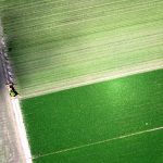
Precision Agriculture
Multispectral sensors are used to assess crop health, identify disease, monitor drainage, and more.
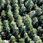
Forestry Assessments
Aerial data provides a wealth of information on yield, growth rates, fire damage and harvest expectations.


