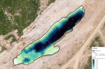
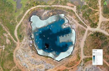
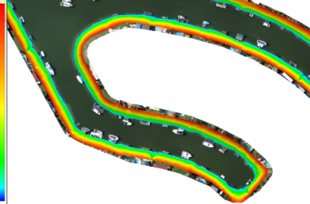
Using advanced sonar sensors mounted to remotely piloted boats, we conduct bathymetric surveys to measure the depth of a water body and map its underwater features.
APPLICATIONS
- Measure depth of mine pits, creeks, rivers etc.
- Model underwater terrain to monitor changes
- Ensure safe and efficient maritime transportation
BENEFITS
- Records highly accurate geographic positions to generate precise 3D models of underwater terrain
- Ability to conduct detailed analysis of ocean floors or river beds and monitor it over time
- Measure depths of water bodies for management and compliance
- Understand patterns of erosion, sea level rise, and subsidence
Related Use Cases:
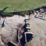
Erosion Monitoring
Monitoring erosion along shorelines and seawalls is essential to ensuring the safety of local dwellers.
Mine Management
Leveraging drones can dramatically reduce expensive and time-consuming activities required to manage mine sites.


