Understanding and control of weed growth is crucial to maintaining productivity gains and sustainable herbicide use.
APPLICATIONS
- Produce accurate maps of the distribution and location of selected species
- Measure the cover and extent of different weed species
- Understand the effects of weed on crop yield
- Calculate volume of beach wrack (dead weed) washed up on shores
- Create a spatial record of changes over time
- Automated detection of invasive species
- NDVI analysis
BENEFITS
- Faster and more cost -effective data capture compared to conventional methods of ground survey & handheld GPS tracking
- Easy identification of selected species, distribution and locations with the ability to automatically detect varieties
- Ability to rapidly target problem areas, reducing use of pesticides and herbicides which in turn decreases run-off into local waterways
- Assists with weed control management decisions
Related Use Cases:
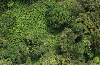
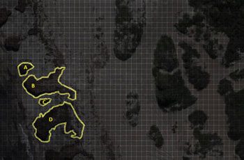
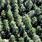
Forestry Assessments
Aerial data provides a wealth of information on yield, growth rates, fire damage and harvest expectations.
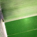
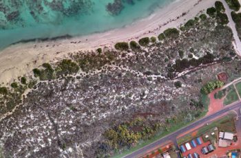
Precision Agriculture
Multispectral sensors are used to assess crop health, identify disease, monitor drainage, and more.