Navigating expansive, challenging or inaccessible terrain is safer and easier from the air.
Traditional land surveying requires a team on the ground, handling equipment to take precise measurements across large areas. Using drones for mapping and surveying is much quicker and costs considerably less, producing extremely accurate results. You don’t have to wait weeks for survey results, purchase expensive satellite imagery or rely on outdated public maps.
Navigating challenging terrain or inaccessible areas is safer and easier from the air. We gather real-time, reliable data to deliver actionable results for engineers, project managers, authorities or stakeholders to save money and drive informed decisions. Using orthomosaic, infrared, LiDAR and other sensors, we can quickly capture and process data into maps and models to measure distance & volume, predict patterns, identify defects or monitor change.
Our ability to capture high-resolution imagery from different angles creates millions of data points to produce the 2D orthomosaic and 3D models, allowing you to see more detail than ever before. Our team of GIS experts process all the data in-house to provide powerful and easy-to-understand insights to help you manage the performance of your project.

Useful for:
- Mapping expansive areas, challenging terrain, difficult-to-reach environments
- Measuring volumes – stockpiles, dredging, landfills
- Elevation modelling – identifying low points for flood risk or watershed analysis
- Bathymetric surveying – to measure depth of water bodies and map underwater features
- Environmental monitoring – to identify vulnerable areas by showing patterns of erosion, shifts and other changes
- Topographic plans and terrain mapping – for utilities or construction planning, identifying boundaries
- Exploration mapping – to discover location of minerals
- Vegetation analysis – to detect invasive species or weaknesses
- Progress reporting – to understand and measure performance of projects
Key Benefits
- Ability to cover large areas quickly and accurately
- Safer to navigate challenging terrain or inaccessible areas
- More cost-effective than manned aircraft or traditional surveying
- High resolution imagery and precise modelling
Sample Deliverables for Powerful Insights
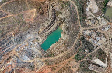
Orthomosaic
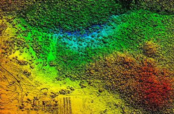
Digital Surface Model (DSM)
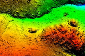
Digital Terrain Model (DTM)
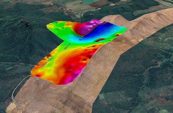
Magnetic Survey
Drainage Analysis
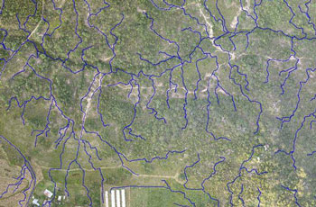
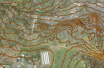
Contour Map
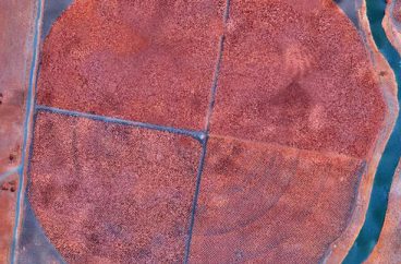
NDVI Analysis
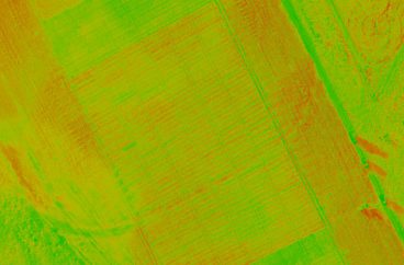
NIR Imagery
Topographic Plan
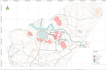
Volumetric Models
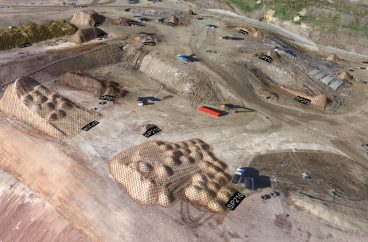
Stockpile Calculation
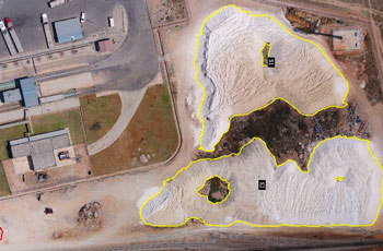
Area Calculation
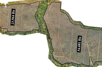
3D Mesh
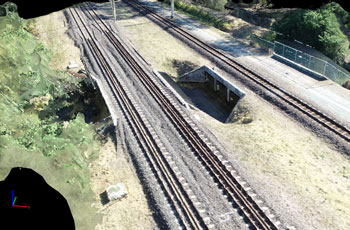
3D Surface Model
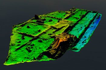
Bathymetric Model
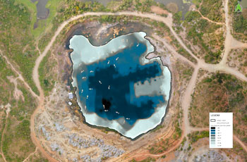
Use Cases
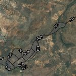
Mine Management
Leveraging drones can dramatically reduce expensive and time-consuming activities required to manage mine sites.
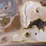
Stockpile Volumetrics
Mining is all about quantities – how much to extract, how much to process, how much is being stored?
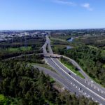
Road Surveys
Aerial images taken by drones accelerate and simplify road management, planning and maintenance.
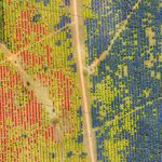
Forestry Assessments
Aerial data provides a wealth of information on yield, growth rates, fire damage and harvest expectations.
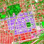
Land Cover Mapping
Capture valuable data for classifying land cover and use for planning, monitoring and policy-making.
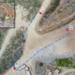
Traffic Planning
Traffic management on mine sites is essential in reducing risk to workers and visitors.
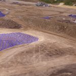
Landfill Surveys
Keeping track of landfill capacity is essential to making informed decisions on maximising capacity of the site.
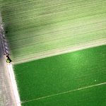
Precision Agriculture
Multispectral sensors are used to assess crop health, identify disease, monitor drainage, and more.
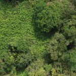
Weed Mapping
Control of weed growth is crucial to maintaining productivity gains and sustainable herbicide use.


