Aerial images taken by drones greatly accelerate and simplify topographic surveys for road management and planning.
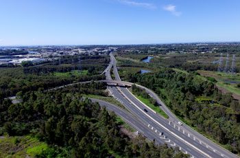
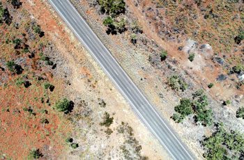
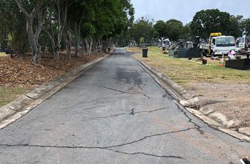
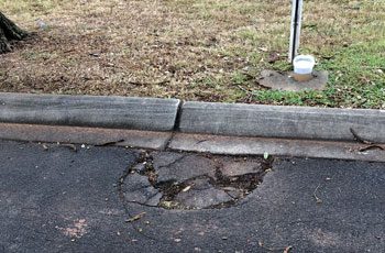
Queensland has the longest state-controlled road network of any Australian state or territory, with 33,336km of roads. Use of Remotely Piloted Aircraft Systems (RPAS) can save time and resources in pre and post-construction activities, keeping Australia’s roads safe and maintained. We can cover vast areas quickly to produce extremely detailed and accurate data which is valuable and vital for engineers, surveyors, maintenance teams and project managers to assist with safety, compliance and planning activities.
Compare a traditional ground survey which takes 8 hours to produce a moderately detailed map, with a 1-hour aerial survey which can produce a highly detailed map and 3D model with high accuracy – drones can greatly accelerate survey time and output.
APPLICATIONS
- Land surveys for pre-construction and during construction
- Routine inspections of work progress
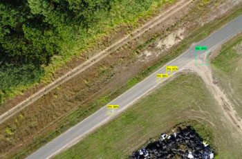
- Automated pothole detection
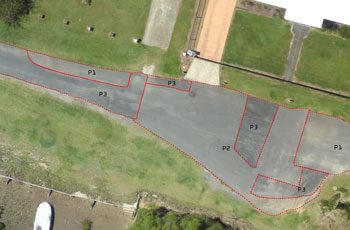
- Monitor vegetation encroachment, cracks, wear, general conditions
- Assessment of the aftermath of natural disasters e.g landslips
- Obtain detailed high-resolution imagery and 3D models for your asset inventories
- Build historical records for future comparison and analysis
DELIVERABLES
Topographic modelling for:
- Bulk earthworks and mass haul calculations
- Hydro analysis
- Route design & optimisation
3D CAD Models:
- Point & string models of existing roads for preliminary and engineering design
Construction monitoring:
- Updating as-built info at each stage
- Calculations to monitor contractor performance
BENEFITS
- Removes the need to physically assess the road, making it safer
- Faster and more cost-effective data capture compared to conventional methods
- Cover vast/remote areas or long linear flight paths in a short time
- Quickly prepare status reports of an ongoing project
- Ability to monitor field work remotely
- Analyse and automatically detect anomalies
- Identify potential hazards before they become incidents or accidents
Related Use Cases:
Traffic Planning
Traffic management on mine sites is essential in reducing risk to workers and visitors.
Land Cover Mapping
Capture valuable data for classifying land cover and use for planning, monitoring and policy-making.


