Aerial data provides a wealth of information (yield, growth rates, fire damage and harvest expectations) that assists with critical decision making for sustainable forestry management.
APPLICATIONS
- Growth forecasts
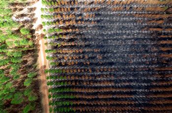
- Rapid fire/storm damage assessments
- Yield assessments
- Weed detection and management
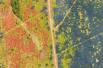
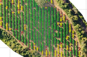
- Plant health assessments
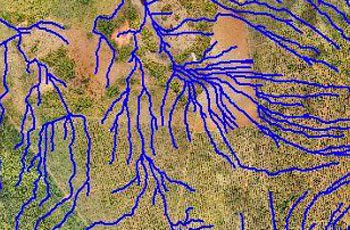
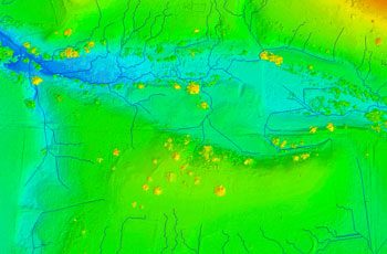
- Drainage assessments
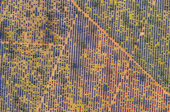
- Tree counts
BENEFITS
- Faster and more cost -effective data capture compared to conventional methods
- Ability to conduct detailed analysis of tree health and monitor it over time
- Easy identification of damage to crop after weather events
- Easy identification of disease
- Quickly prepare status reports for sustainable forestry management
- Ability to predict future yield
- Ability to measure area, count trees, calculate tree heights etc.
Related Use Cases:
Weed Mapping
Understanding and control of weed growth is crucial to maintaining productivity gains and sustainable herbicide use.
Precision Agriculture
Multispectral sensors are used to assess crop health, identify disease, monitor drainage, and more.


